IISER Tirupati TNFD

LiDAR Forest Structure

Developing a LiDAR-based ecological analysis system for understanding forest structure, canopy complexity, habitat variability, and spatial distribution of trees within the shola forests of Kodaikanal using handheld LiDAR and ecological ground-truth measurements.

Project Overview

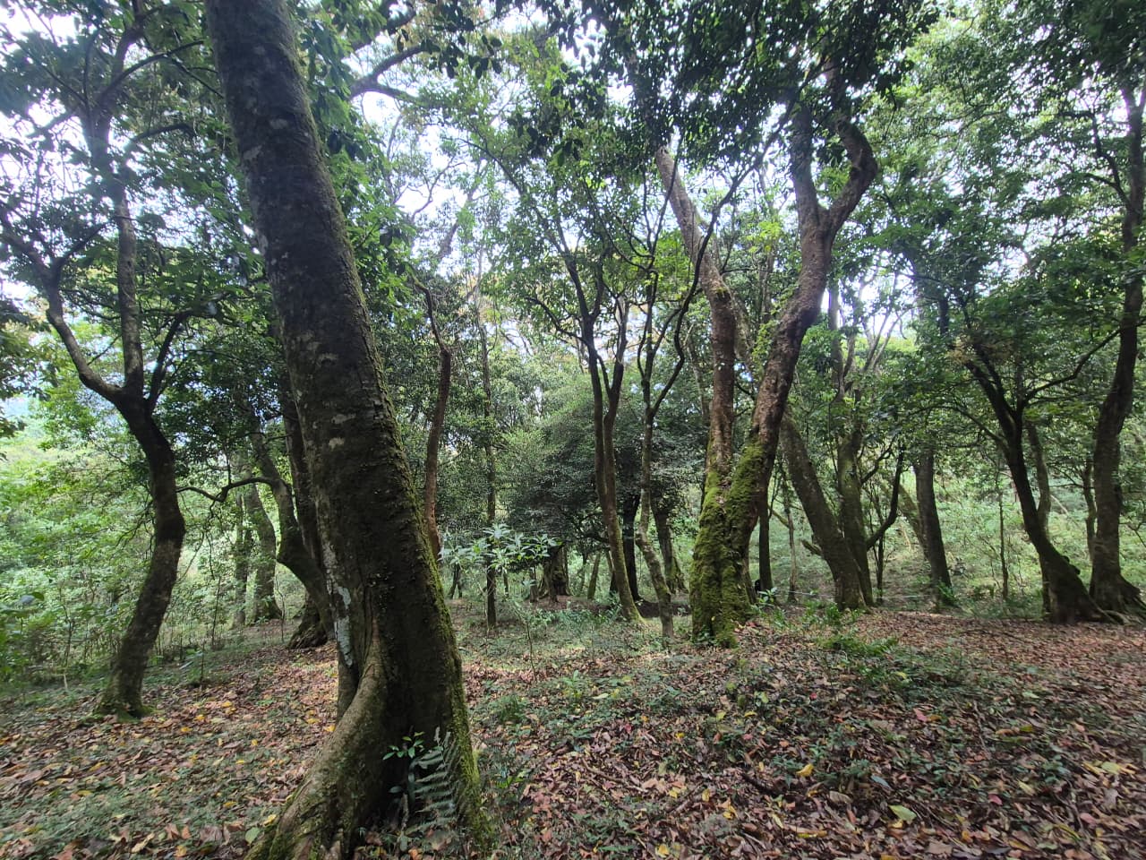
This project focuses on analyzing forest habitat structure using handheld LiDAR data integrated with ecological field observations. The study includes canopy height modelling, vegetation density analysis, habitat openness assessment, GBH estimation, and spatial mapping of trees within Bombay Shola, Kodaikanal.

LiDAR Mapping

High-resolution 3D forest structure visualization.

Ecological Surveys

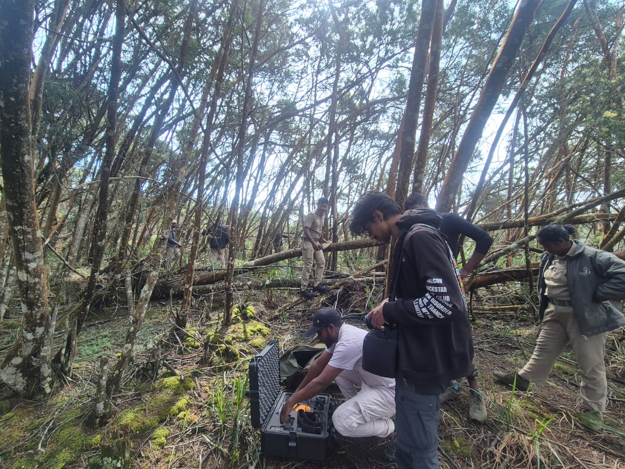
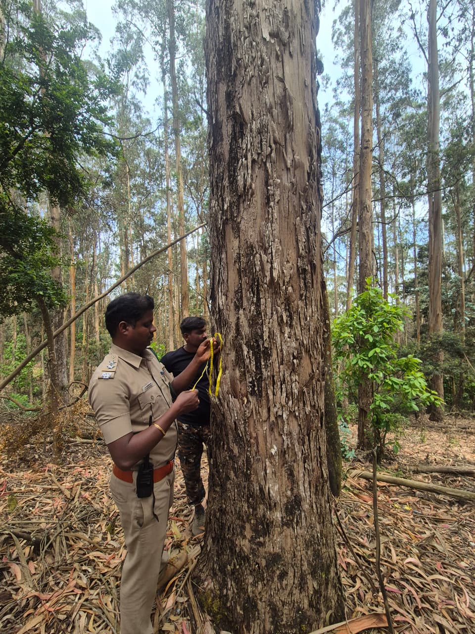
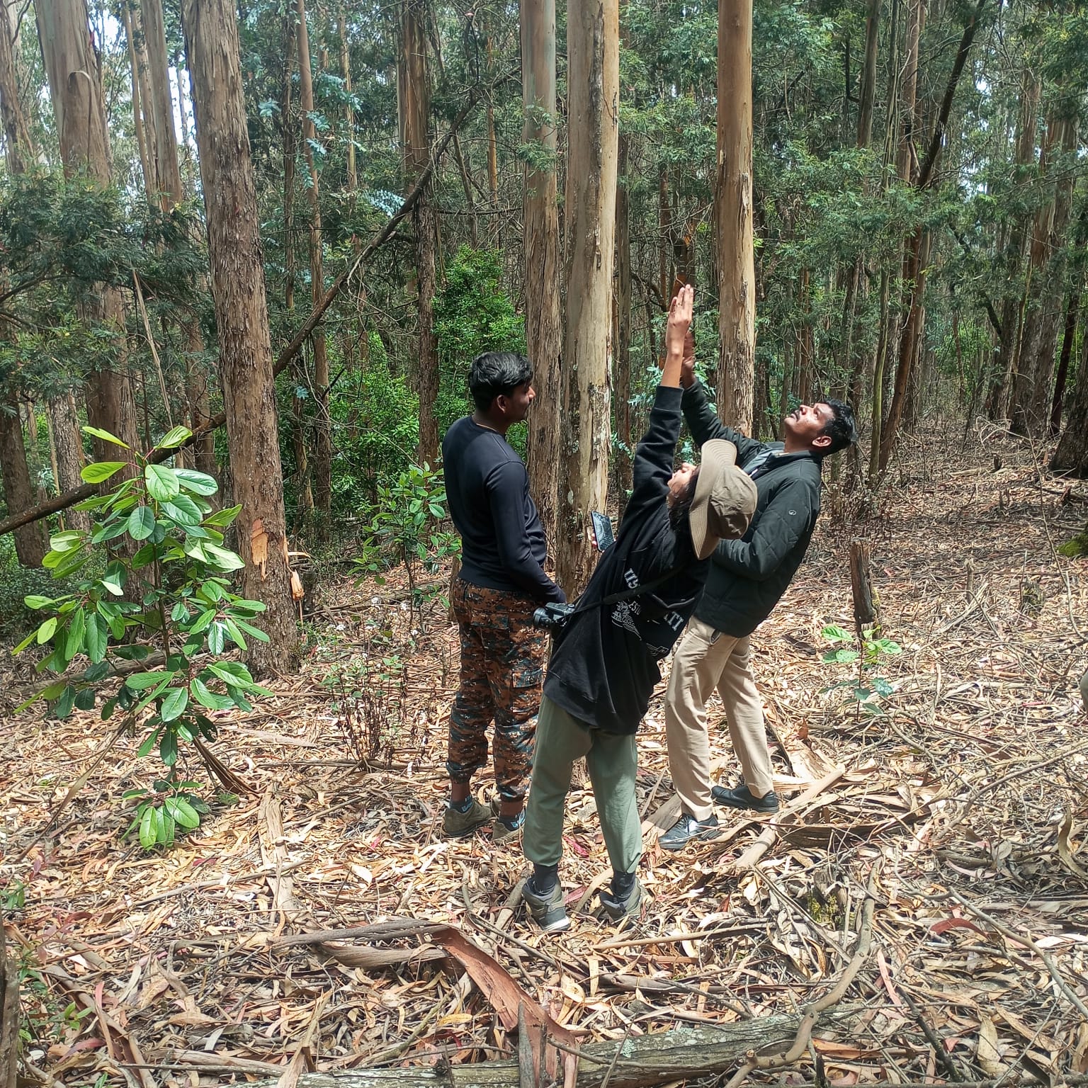
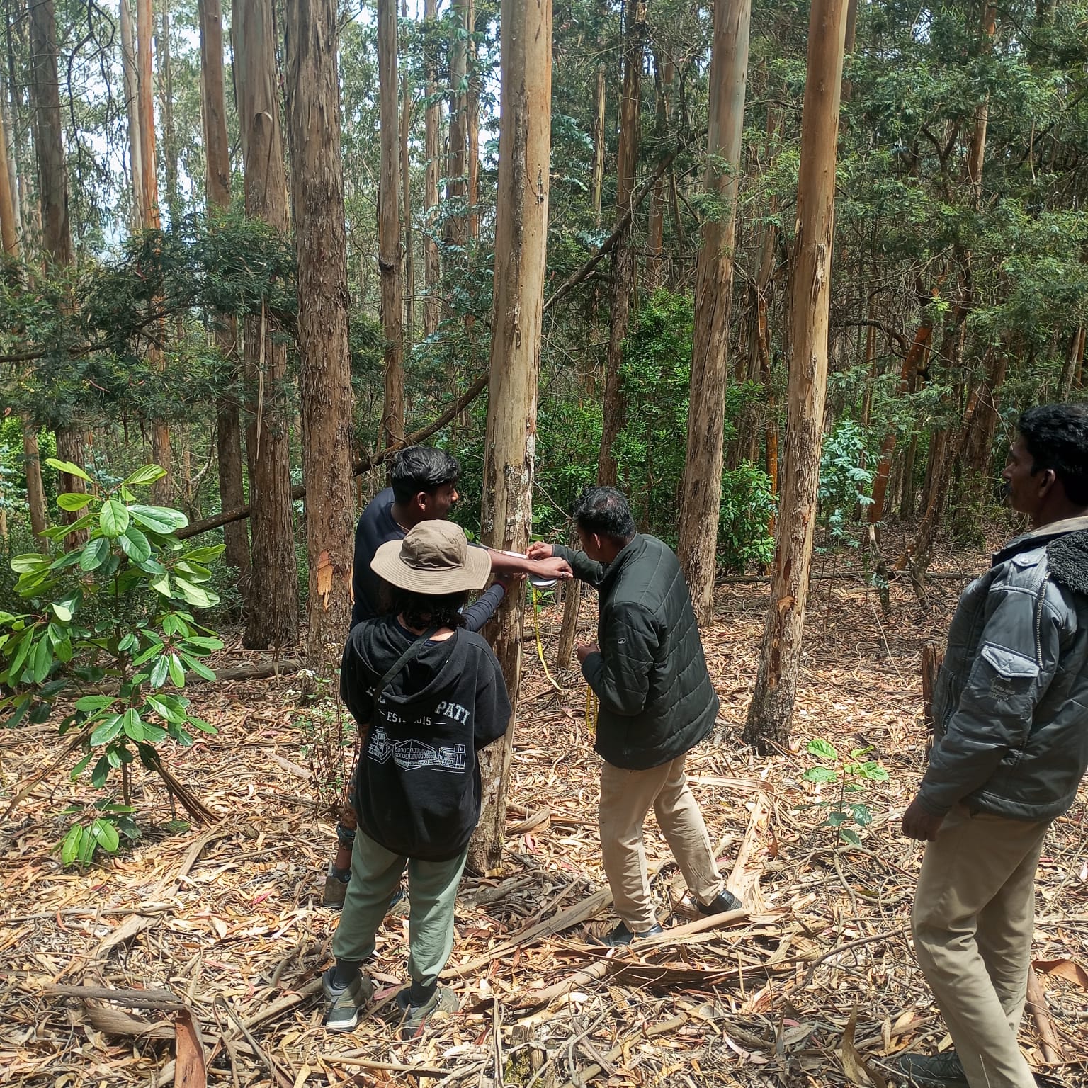
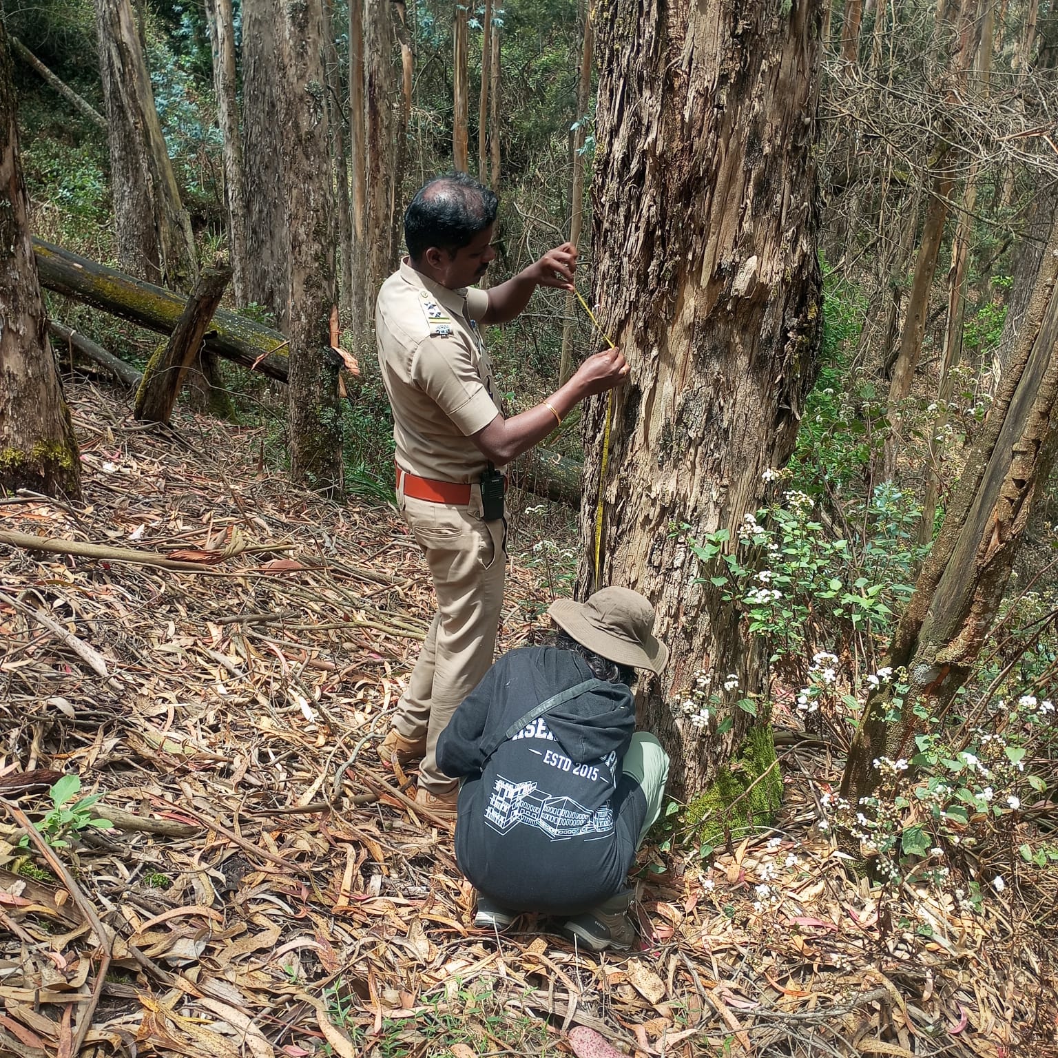
Ground-truth habitat and vegetation measurements.

Forest Analysis

Canopy structure and habitat variability assessment.

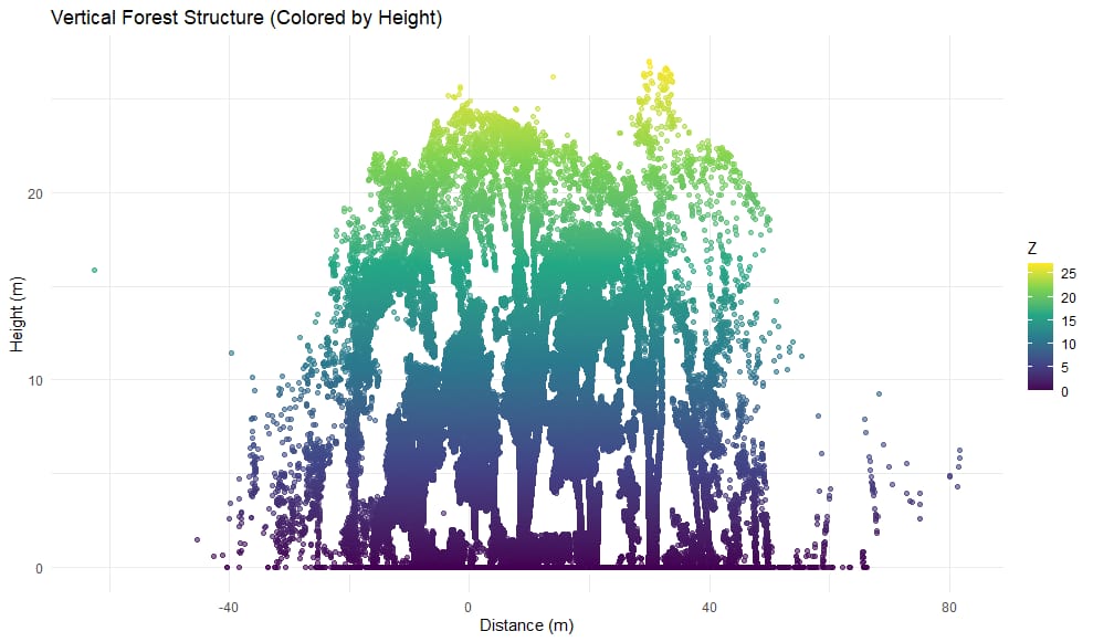
LiDAR 3D Forest View

Graphs and Ecological Results

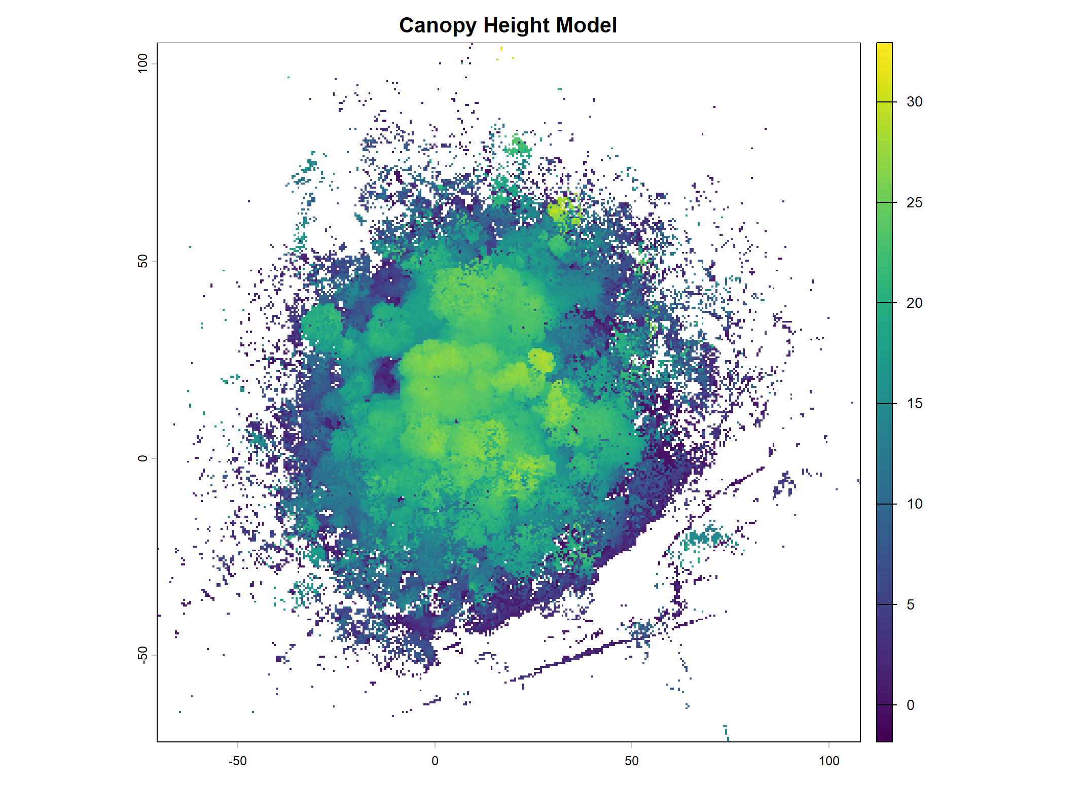
Canopy Height Model

LiDAR-derived canopy height model representing forest structure.

Canopy Height Model

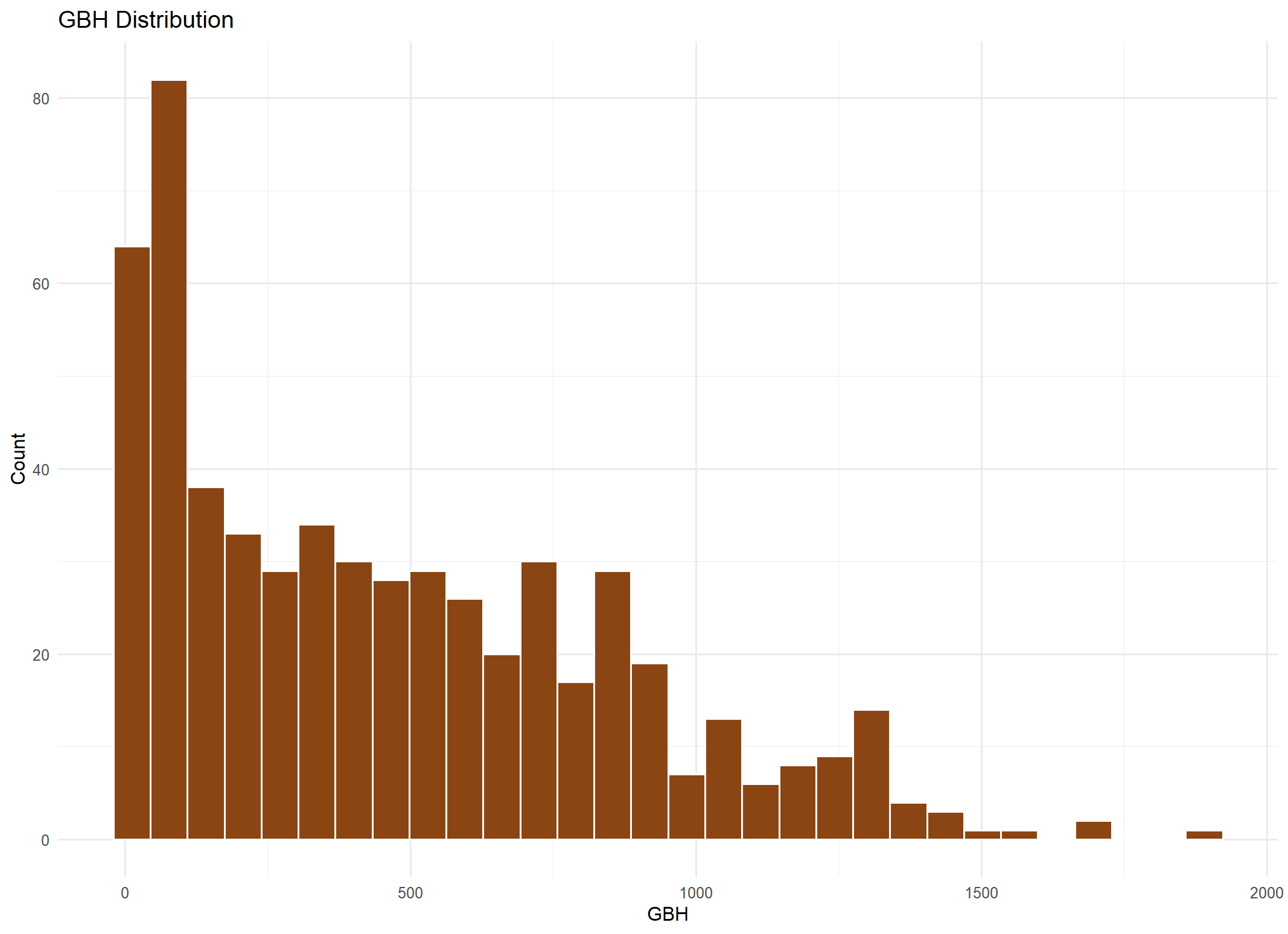
GBH Distribution

Distribution of GBH measurements collected during field assessment.

GBH Distribution

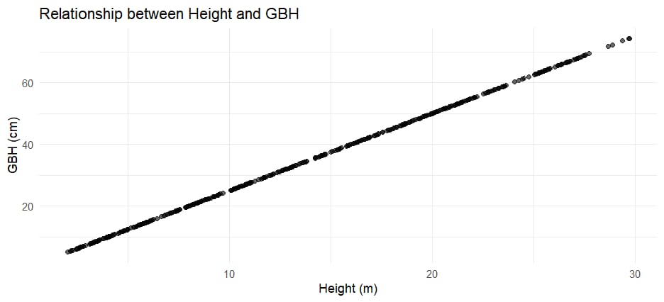
Height vs GBH

Relationship between tree height and GBH observed during habitat analysis.

Height vs GBH

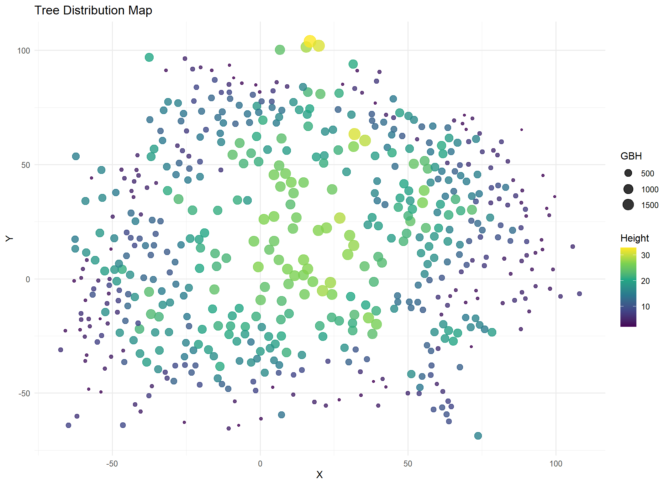
Tree Distribution Map

Spatial distribution map showing individual tree positions.

Tree Distribution

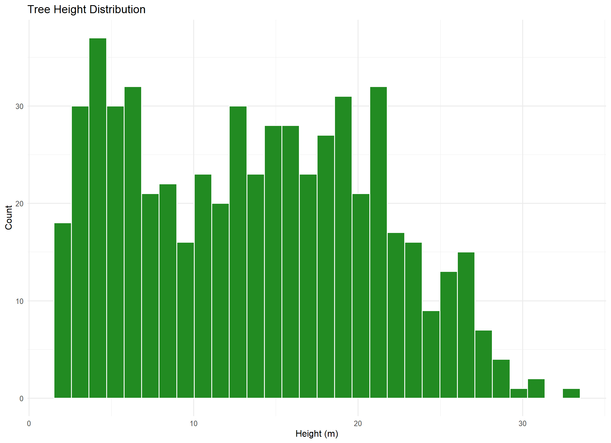
Tree Height Distribution

Distribution of tree heights derived from LiDAR analysis.

Tree Height Distribution

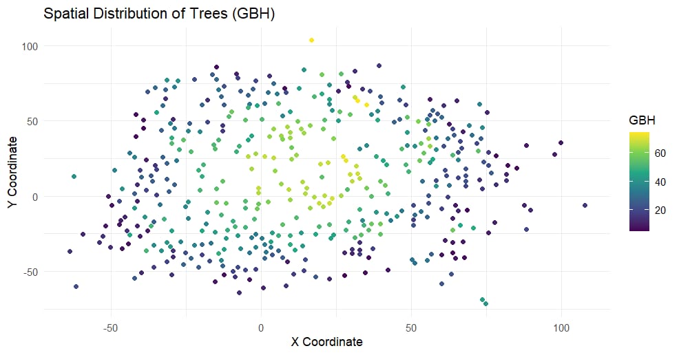
Spatial Distribution of Trees

Spatial mapping of trees identified during habitat analysis.

Spatial Distribution

Ecological Analysis

Vegetation Density

LiDAR-derived vegetation density analysis highlighted differences in canopy closure and forest complexity across the study site.

Canopy Structure

Canopy structure analysis revealed variation in tree height and vertical layering within the forest.

Habitat Openness

Habitat openness analysis identified canopy gaps and variation in forest cover across the study area.

Field Validation

Ground observations supported the interpretation of LiDAR-derived habitat structure and canopy patterns.

Key Findings

Conclusion

This project demonstrates the usefulness of handheld LiDAR for ecological habitat assessment and forest structure analysis. Integrating LiDAR data with ecological field measurements provided detailed insights into canopy structure, vegetation density, habitat openness, and spatial variability within the shola forests of Kodaikanal.